Enable High Contrast Mode
Disable High Contrast Mode
![]()
![]()
History of the Landmark District
The Hudson River National Historic Landmark District was designated by the U.S. Secretary of the Interior in 1990. This district is the largest such district on the mainland of the contiguous United States. It covers an area of 22,205 acres (34.6 square miles) extending inland roughly a mile from the eastern bank of the Hudson River between Staatsburg and Germantown in Dutchess and Columbia counties in the state of New York. This area includes the riverfront sections of the towns of Clermont, Red Hook, Rhinebeck and part of Hyde Park. This strip includes in its entirety the hamlets of Annandale, Barrytown, Rhinecliff and the village of Tivoli.
Bard College and two protected areas, Margaret Lewis Norrie State Park and Tivoli Bays Unique Area, are also within the district. These locations represent some of the most significant historic sites and iconic landscapes in the nation. A total of 1869 unique structures or sites are catalogued and listed as individually significant or contributing to the significance of the district, with an additional 701 classified as non-contributing. HRH spearheaded the application for this prestigious designation, and subsequently was appointed as the steward of this district.
District Landmark Sites
Clermont
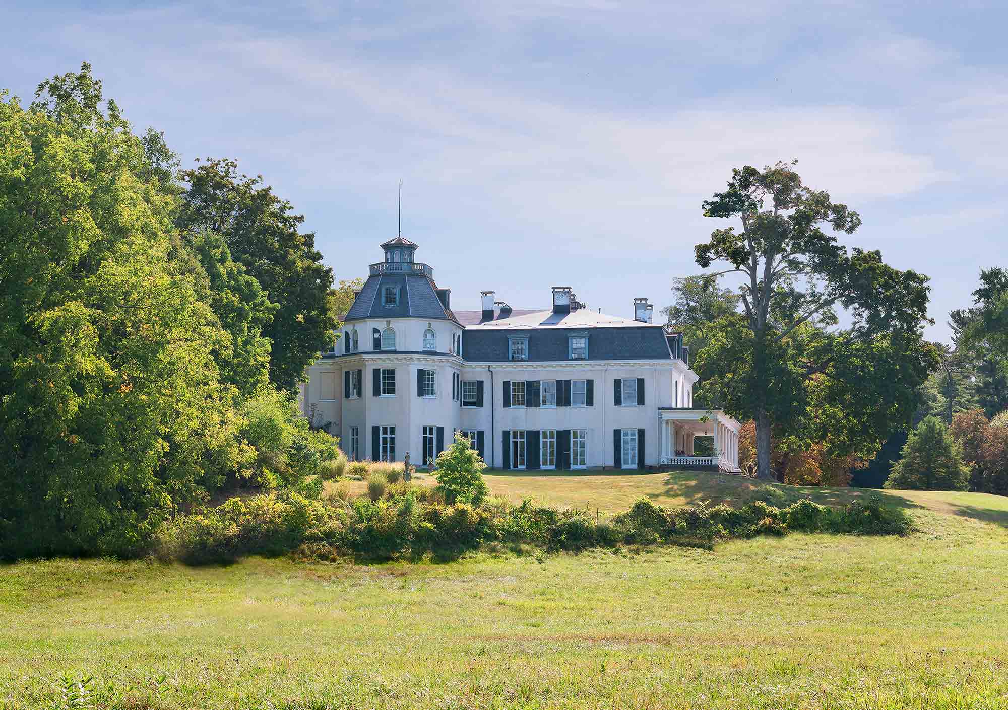
Montgomery Place
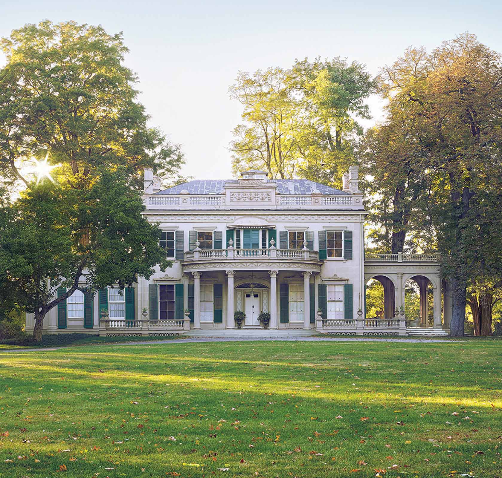
Staatsburgh
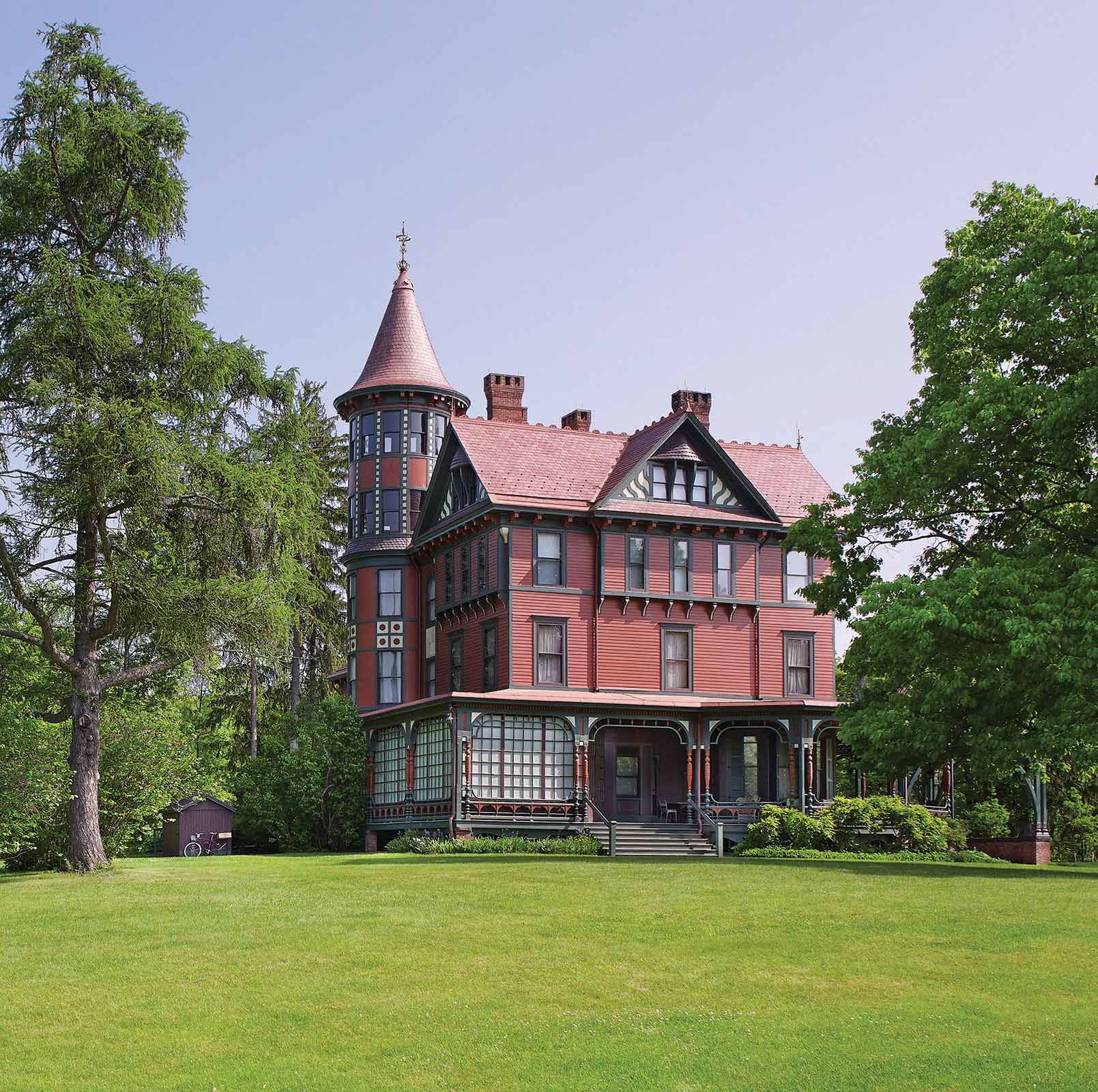
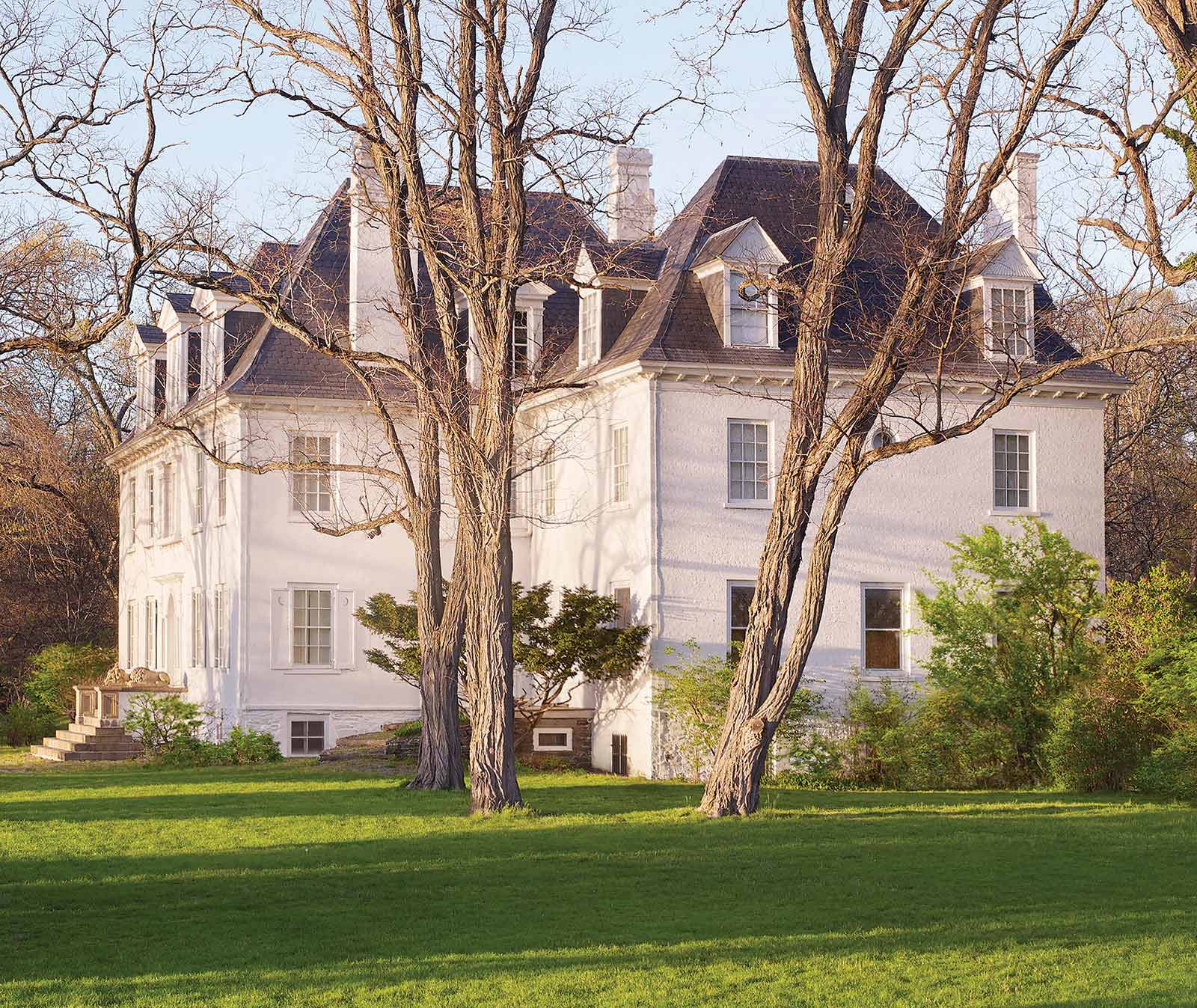
Wilderstein
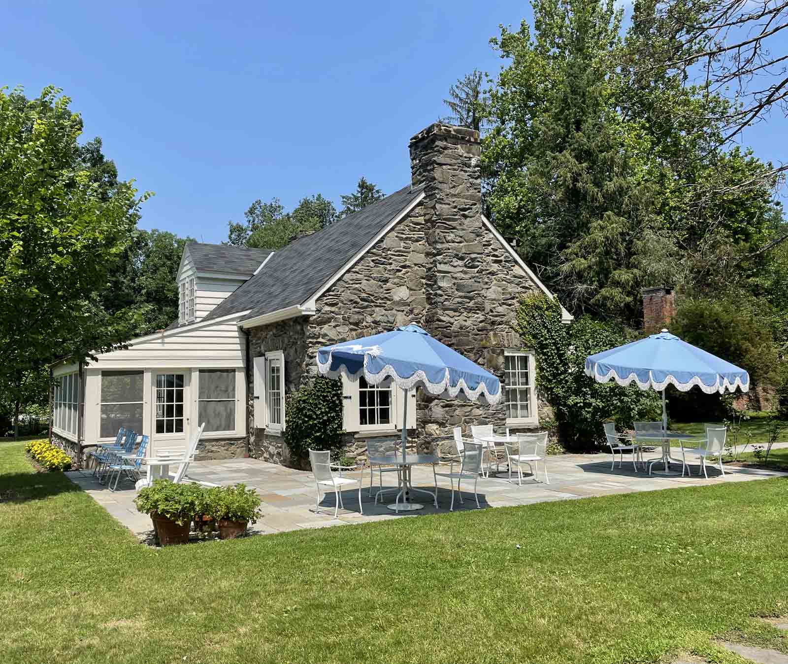
Beattie-Powers Place
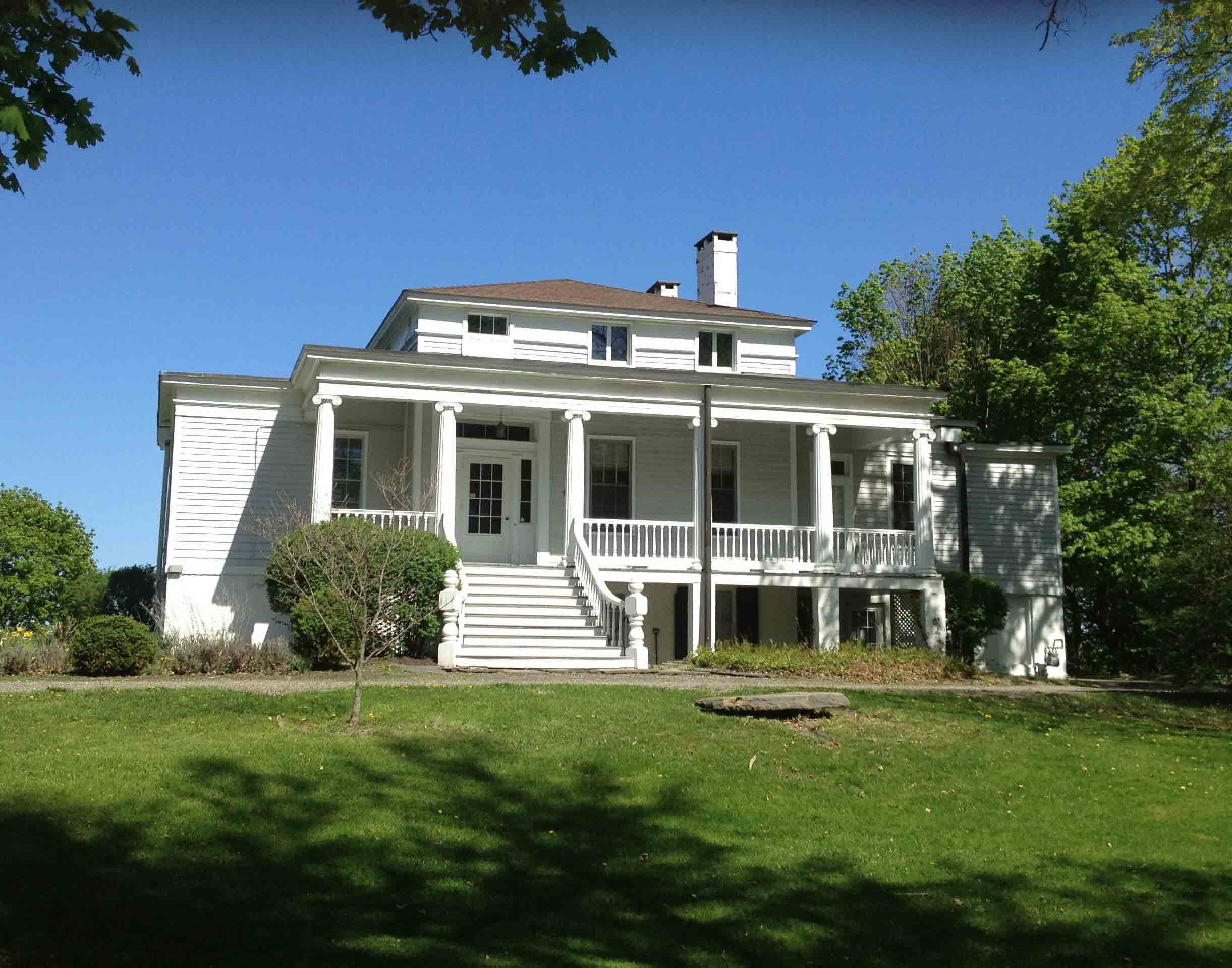
Locust Grove
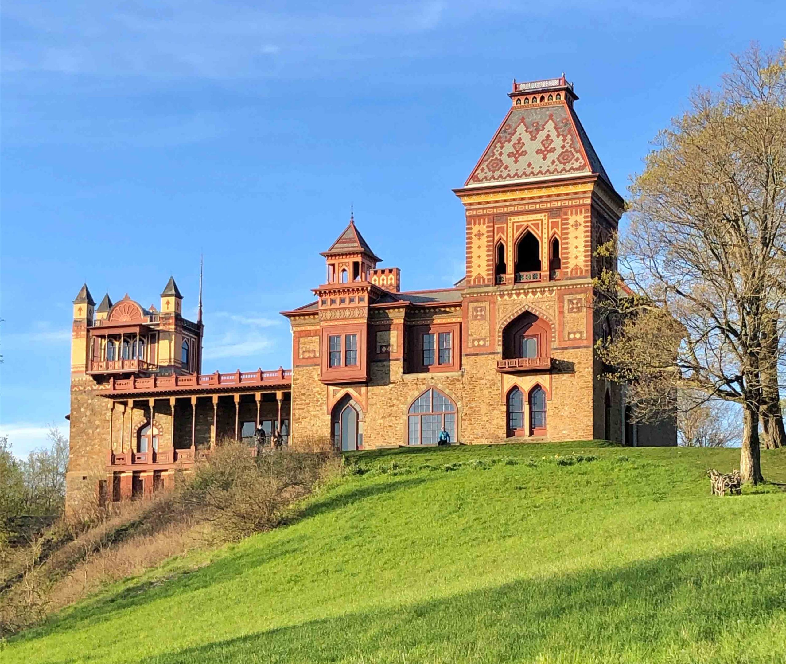
Olana
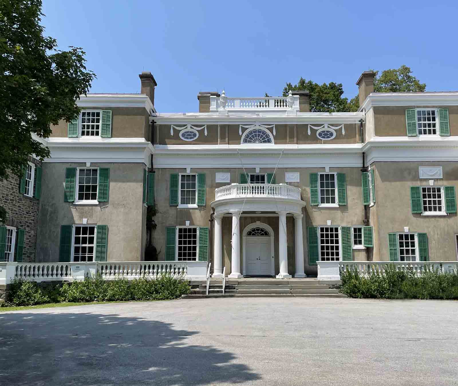
Springwood
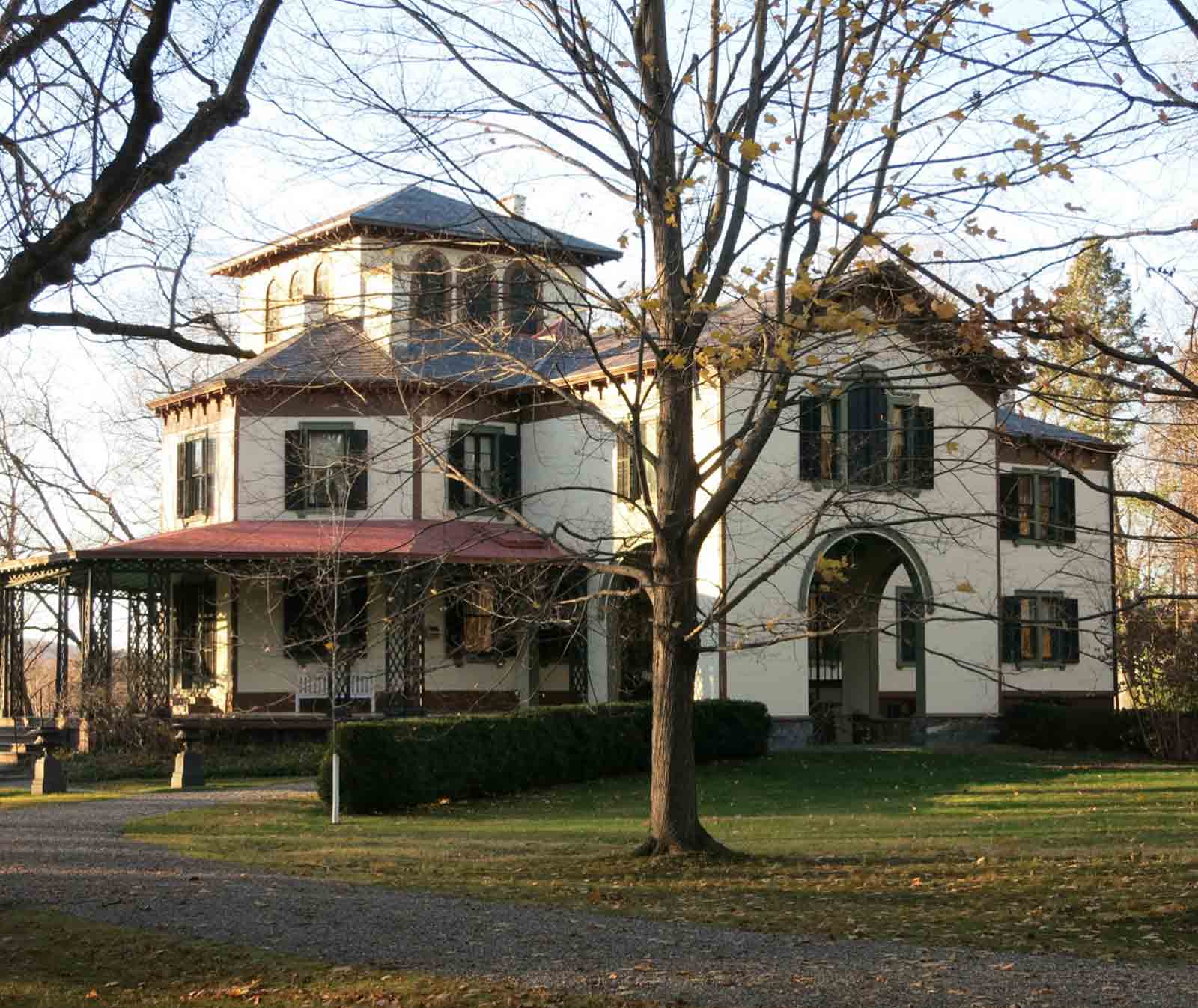
Thomas Cole National Historic Site
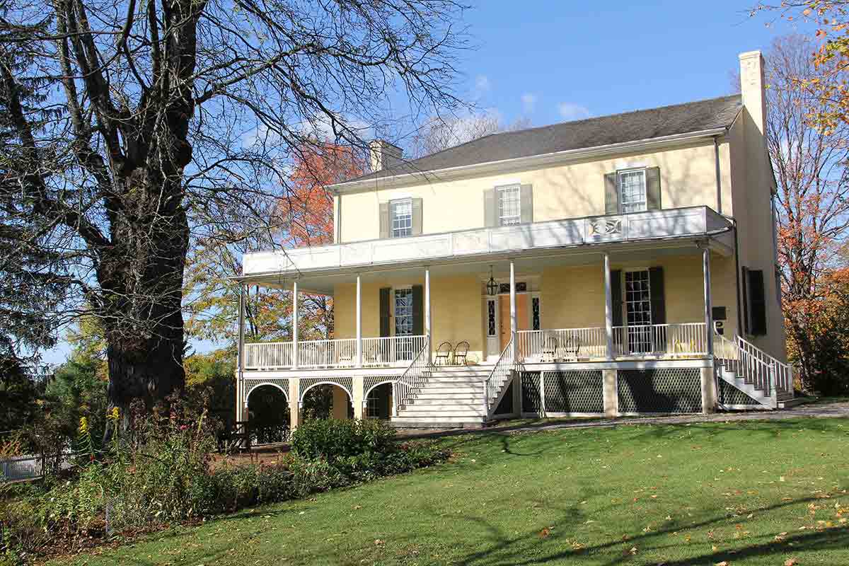
Val-Kill
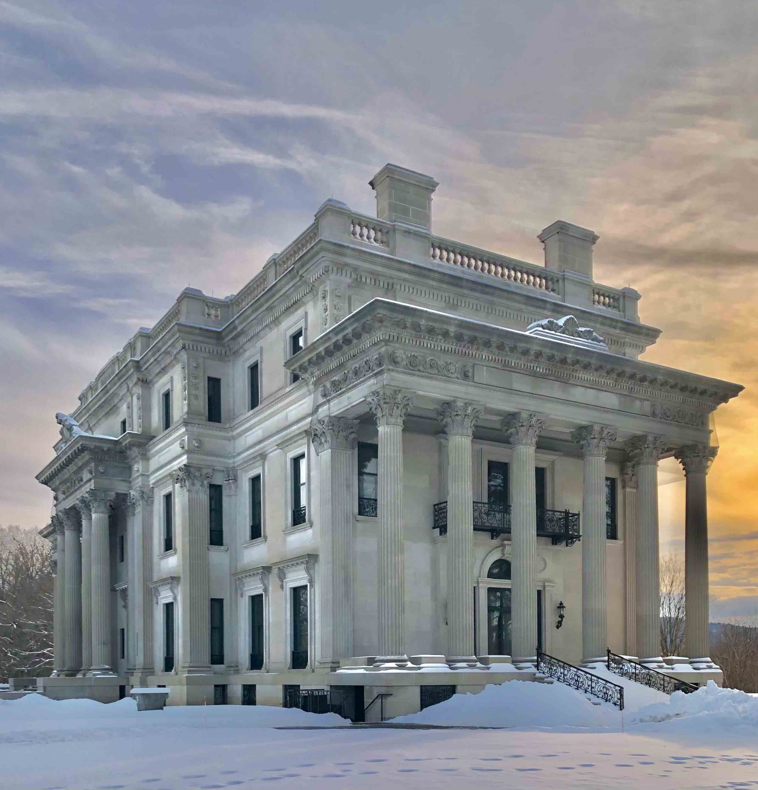
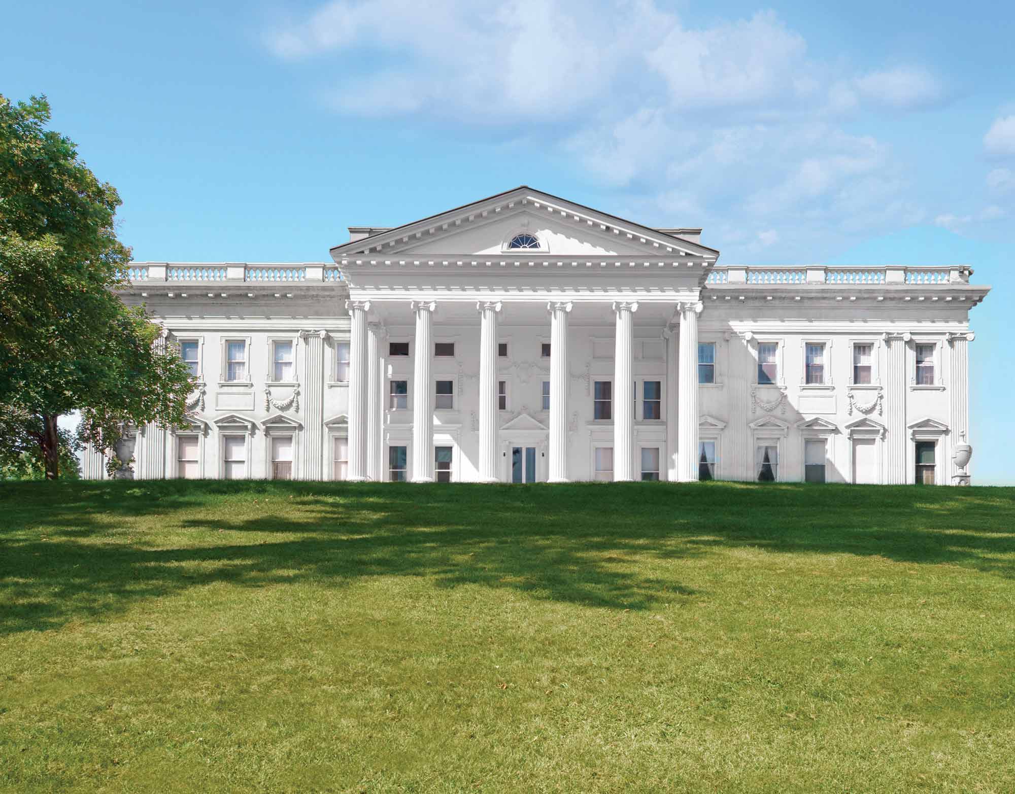
Vanderbilt Mansion